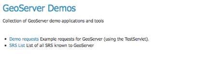
Demos
This page contains helpful links to various information pages regarding GeoServer and its features. You do not need to be logged into GeoServer to access this page.
Demos page
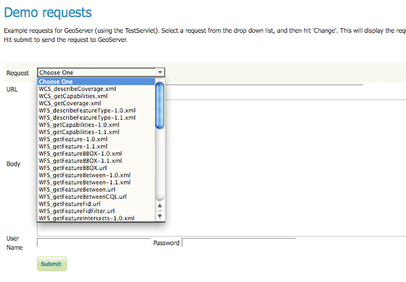
Demo Requests
This page has example WMS, WCS and WFS requests for GeoServer that you can use, examine, and change. Select a request from the drop down list.
Selecting demo requests
Both Web Feature Service (Web Feature Service) as well as Web Coverage Service (Web Coverage Service) requests will display the request URL and the XML body. Web Map Service (Web Map Service) requests will only display the request URL.
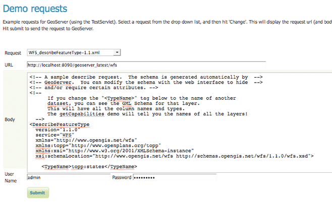
WFS 1.1 DescribeFeatureType sample request
Click Submit to send the request to GeoServer. For WFS and WCS requests, GeoServer will automatically generate an XML reponse.
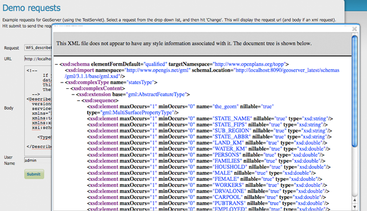
XML reponse from a WFS 1.1 DescribeFeatureType sample request
Submitting a WMS GetMap request displays an image based on the provided geographic data.
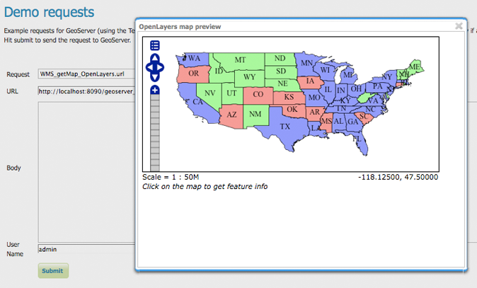
OpenLayers WMS GetMap request
WMS GetFeatureInfo requests retrieve information regarding a particular feature on the map image.
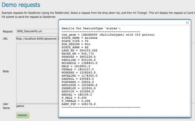
WMS GetFeatureInfo request
SRS
GeoServer natively supports almost 4,000 Spatial Referencing Systems (SRS), also known as projections, and more can be added. A spatial reference system defines an ellipsoid, a datum using that ellipsoid, and either a geocentric, geographic or projection coordinate system. This page lists all SRS info known to GeoServer.
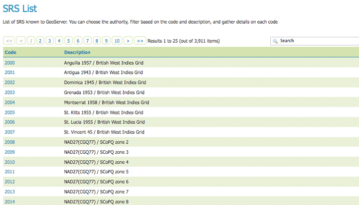
Listing of all Spatial Referencing Systems (SRS) known to GeoServer
The Code column refers to the unique integer identifier defined by the author of that spatial reference system. Each code is linked to a more detailed description page, accessed by clicking on that code.
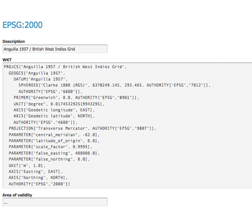
Details for SRS EPSG:2000
The title of each SRS is composed of the author name and the unique integer identifier (code) defined by the Author. In the above example, the author is the European Petroleum Survey Group (EPSG) and the Code is 2000. The fields are as follows:
Description—A short text description of the SRS
WKT—A string describing the SRS. WKT stands for “Well Known Text”
Area of Validity—The bounding box for the SRS