Changing the projection
We will now change the viewer application to be in EPSG:4326 (WGS84) instead of the default Google Mercator. This will mean that our the two base layers (OSM and Google) are no longer available, so we will start by commenting them out in app.js:
layers: [{
//source: "osm",
//name: "mapnik",
//group: "background"
//}, {
//source: "google",
//name: "ROADMAP",
//group: "background"
//}, {
    source: "local",
    name: "usa:states",
    selected: true
}],
The map configuration contains a few projection related properties:
projection: "EPSG:900913",
center: [-10764594.758211, 4523072.3184791],
To change the projection, substitute the lines above with the following:
projection: "EPSG:4326",
center: [-97, 38],
Now reload the application in your browser:
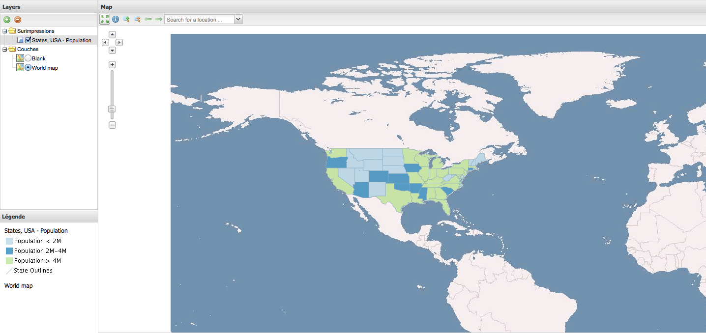
Now we can add a WMS of the world as our new base layer, first defining a new source in the sources section:
ol: {
    ptype: "gxp_olsource"
}
The ptype of gxp_olsource is an “OpenLayers Source”, which will allow us to define any OpenLayers Layer type. (See the plugin gxp.plugins.OLSource in the API documentation.) We want to configure an OpenLayers.Layer.WMS to a vmap0 tilecache instance, so add the following to the layers configuration:
{
    source: "ol",
    type: "OpenLayers.Layer.WMS",
    args: ["World map", "http://vmap0.tiles.osgeo.org/wms/vmap0", {layers: 'basic'}],
    group: "background"
}
This will result in:
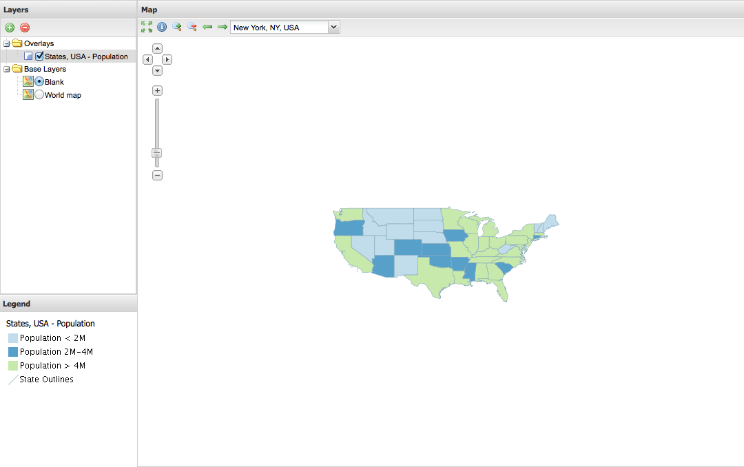
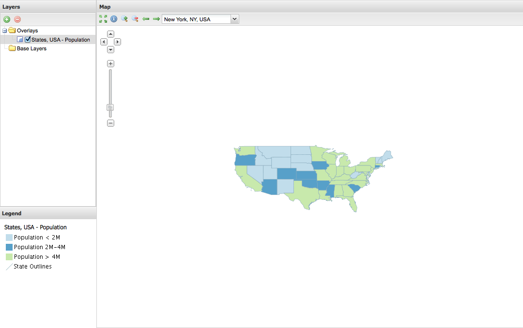
As a last step, we will add a blank base layer to the application. Add the following to the layers configuration:
{
    source: "ol",
    type: "OpenLayers.Layer",
    args: ["Blank"],
    visibility: false,
    group: "background"
}
The result will look like this: